Gouritz River - Mossel Bay
Beach near the mouth of the Gouritz River
The Gouritz river at 416 kilometres in length is one of the larger rivers flowing through the landscape in the Mossel Bay Albertinia area. It is formed by the confluence of the Gamka and Olifants rivers near Calitzdorp in the Great Karoo and is joined by the Groot River flowing through the Langeberg Mountains and coastal plain to the sea at the Gouritz River Mouth.

River running through green fields near Vleesbaai To the north of the main bridge are two other bridges, the old road bridge and the railway bridge both of which are 65 metres above the river bed. The old road bridge was unused for years after the main bridge was completed but in 1989 bungee jumpers started using it to do jumps from. There were two types of jump available, one where you could swing out over the river bed and another one where you could take the normal bungee dive. Both of these jumps were very scary but over the years thousands put their fears behind them and took the plunge. 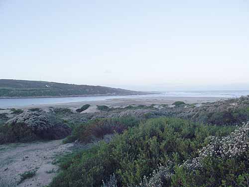
Gouritz River Mouth
Unfortunately the fun was stopped in 2009 when the authorities felt that the bridge was becoming too weak to handle the stresses being placed on it by the jumpers. The bungee operators appealed the decision but it appears that they lost their appeal.

Banks of the Gouritz River scoured out by the recent flood
The Floriskraal dam on the Buffels River, the Gamkapoort dam on the Gamka River and the Stompdrif dam on the Olifants river are three of the dams.
The Buffels River was in the news in the early 1980's when it flooded the town of Laingsburg and swept 110 people to their deaths.

The single lane bridge over the Gouritz River The area where the river flows through from the N2 bridge is hilly and causes the river to twist and turn along its course. About five kilometres from the mouth of the river is a single lane bridge crossing the river and it is here during a recent flood that itwashed away some of the embankments on the approaches to the river. The river during its peak flood period must have been a good 10 metres higher than its normal levels. 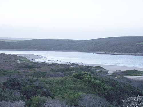
Gouritz River lagoon
Fortunately the mouth of the river was open when the flood waters arrived at the mouth so it did not cause too much damage on its way to the sea. Other rivers however flooded their banks and caused damaged to residential properties.
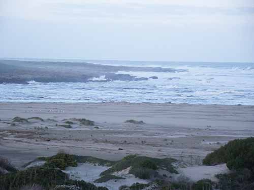
Rocky outcrops used for fishing at the mouth of the Gouritz River The mouth of the Gouritz river is normally open to the sea and so is a tidal river with the sea pushing up into the estuary when the tide is high. This allows fish such as the cob and grunter to enter the river and makes for good angling conditions in the mouth as the tide ebbs and flows. 
Gouritz River Mouth beach houses The holiday village Gouritzrivermond stretches out to the west of the river along a very rocky coastline. There are one or two shops and a hotel in the village with residents having to visit Mossel Bay for grocery and other shopping 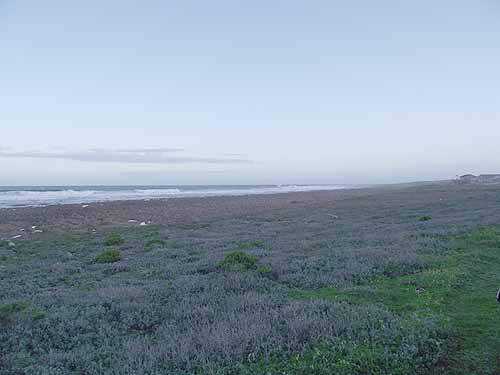
Gouritz River Mouth's rocky coastline
A few kilometres to the east of the mouth of the river are a number of small villages. Places such as Fransmanspunt, Vleesbaai and Boggomsbaai. Although very small these villages have some very large and expensive beach houses. It is no accident that visitors from the interior stream to this coastline and build massive holiday houses in the villages along the coastline. The Mossel bay area has the mildest climate you will find anywhere in South Africa.
© 2023 Turtle SA - All Rights Reserved |
|